US 60-US 65 PEL Study: Access & Operations Analysis
The US 60-US 65 PEL Study: Access & Operations Analysis is evaluating transportation conditions in southeast Springfield at one of the region's most important highway connections. The study will examine current and future travel patterns, operational challenges, safety concerns, access needs and environmental constraints to identify practical improvement strategies for the corridor and surrounding roadway network. This effort is a regional partnership among the OTO, MoDOT, City of Springfield, Greene County, City Utilities, and FHWA, and is formally being conducted as a Planning and Environmental Linkages (PEL) study to support and advance future planning and decision making.
Study Updates
7/9/2026 - Summary of feedback received from recent meetings, survey responses and emails has been added to the Study Documents section below.
FEATURED VIDEO
US 60/65 Near Miss Crash Safety Review
A Near-Miss crash was defined as an interaction where vehicle separation was less than 3 seconds.
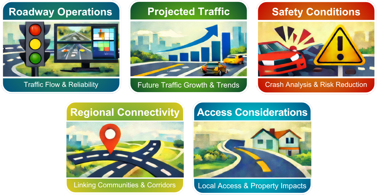
Focus Areas
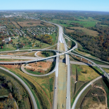
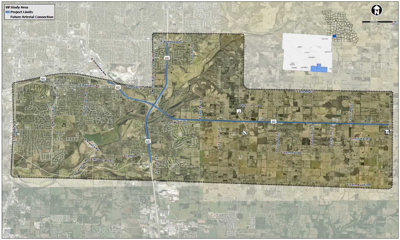
Study Location
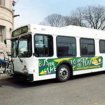
US-60 and US-65 are major regional routes that serve southwest Missouri and the Springfield area. This study is focused on understanding how the corridor functions today, how it may function in the future, and what types of improvements could be made to address current and future transportation needs.
The study will also consider the role of complementary arterial and collector streets, along with public input and environmental factors, in shaping recommendations.
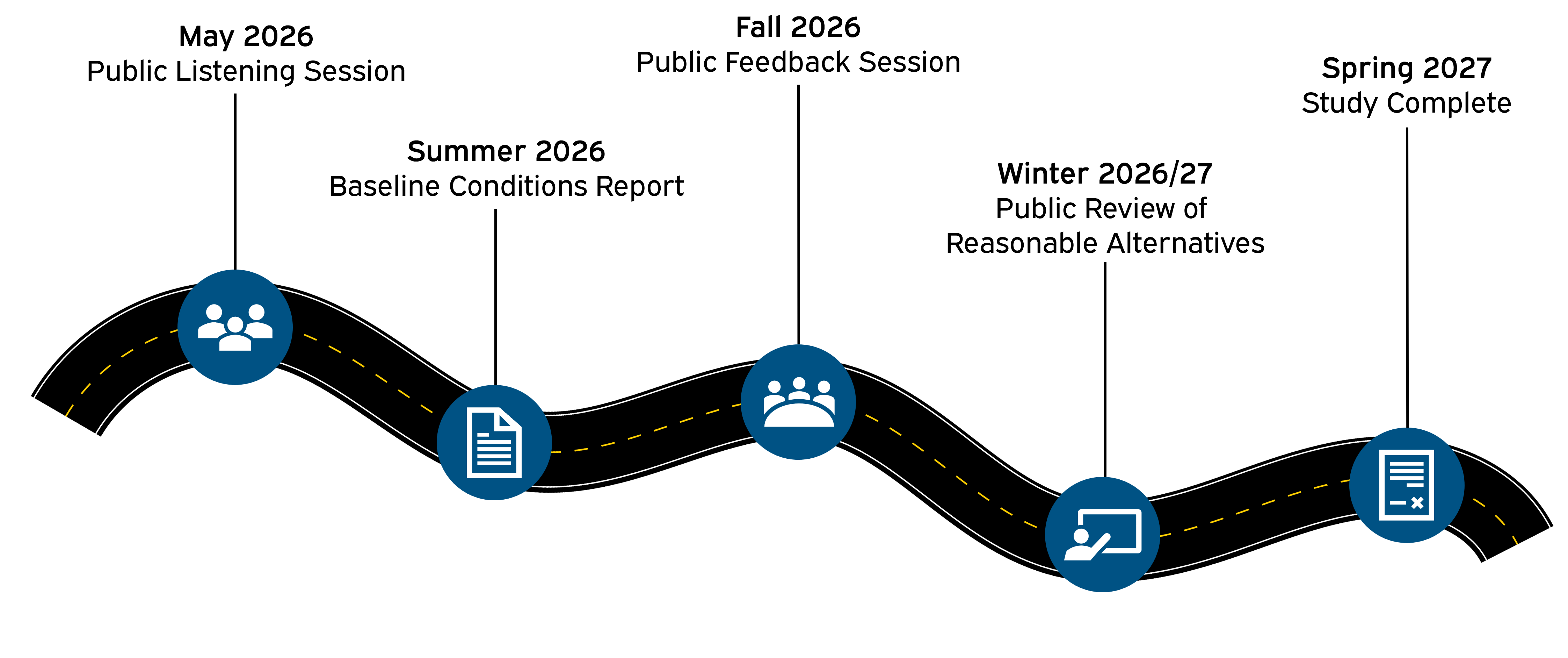
Project Schedule
Public Involvement Opportunities
Public Meeting: Listening Session
May 28, 2026 at 5:30pm
The Courageous Church
4900 S. Farm Road 189
Rogersville, MO
Next Public Meeting
Our next public meeting for the US 60/65 PEL study will take place in Fall 2026.
Study Documents
Summary of feedback received during Public Listening phase
Don't want to wait for the public meetings?
Frequently Asked Questions
-
A: The purpose of the US 60-US 65 PEL Study: Access & Operations Analysis is to better understand how this important highway connection currently functions and identify potential strategies for improving travel reliability, safety, and connectivity while supporting future growth in the area.
This PEL study will advance previous long-range regional planning efforts to identify reasonable alternatives to carry forward for future project delivery and NEPA approvals.
-
A: The study will examine a range of potential strategies that could improve how the corridor operates. These may include operational improvements, changes to access or ramp configurations, improvements to nearby arterial and collector roads, and other strategies intended to enhance safety and travel reliability.
The study will evaluate possible options based on technical analysis, public input, and environmental considerations. No final decisions have been made, and the study will help inform future planning and decision-making.
-
A: Public input is an essential part of the study process. Feedback from community members, corridor users, nearby property owners, and other stakeholders will help identify issues and priorities that technical analysis alone may not capture. This input will be considered alongside traffic data, safety information, and other planning factors to evaluate potential improvement strategies.
-
A: The study began in Spring 2026 and is anticipated to be completed in Spring/Summer 2027. Project Updates and various alternatives will be shared for feedback at each of the Public Listening Sessions and Meetings.
-
Planning and Environment Linkages (PEL) represents a collaborative and integrated approach to transportation decision-making that 1) considers community, economic and environmental goals early in the transportation planning process, and 2) uses the information, analysis, and products developed during planning to inform the environmental review process.
When transportation agencies conduct planning activities equipped with information about resource considerations and in coordination with resource agencies and the public, they are better able to design transportation programs and projects that serve the community's transportation needs more effectively. The PEL approach provides agencies with tools to design better projects while avoiding and minimizing impacts on natural resources.